These different kinds of plans help your application through the planning process.
Download your planning maps here
Location Plan
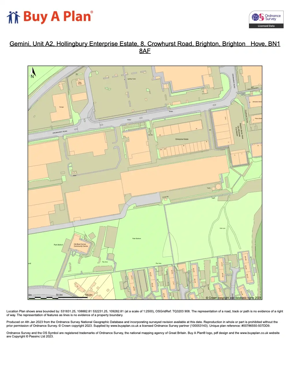
The location plan (which is sometimes called a site location plan) lets everyone know exactly where you’re proposing to carry out your development. It will show quite a large area around the development site.
A location plan, in addition to a site plan, may be requested by a planning authority as part of your planning application. It is more detailed than a site plan, displaying the site borders and more information about the intended development. The proposed development site should be highlighted in red, and any other land owned by the applicant that is nearby or adjacent to the site should be highlighted in blue. In town, a location plan might be at a scale of 1:1,250. In a rural area, with fewer roads, buildings, or natural features, you might need to show more of the local area using a smaller scale, say 1:2500, to let people find the site easily.
Typically, the location plan will incorporate some or all of the following:
- Creating site boundaries.
- Roads and structures on neighbouring property.
- The proposed development site is shown in red.
- Extra land owned by the developer and shown in blue that is next to the site.
Location Plan example
Block Plan & Site Plan
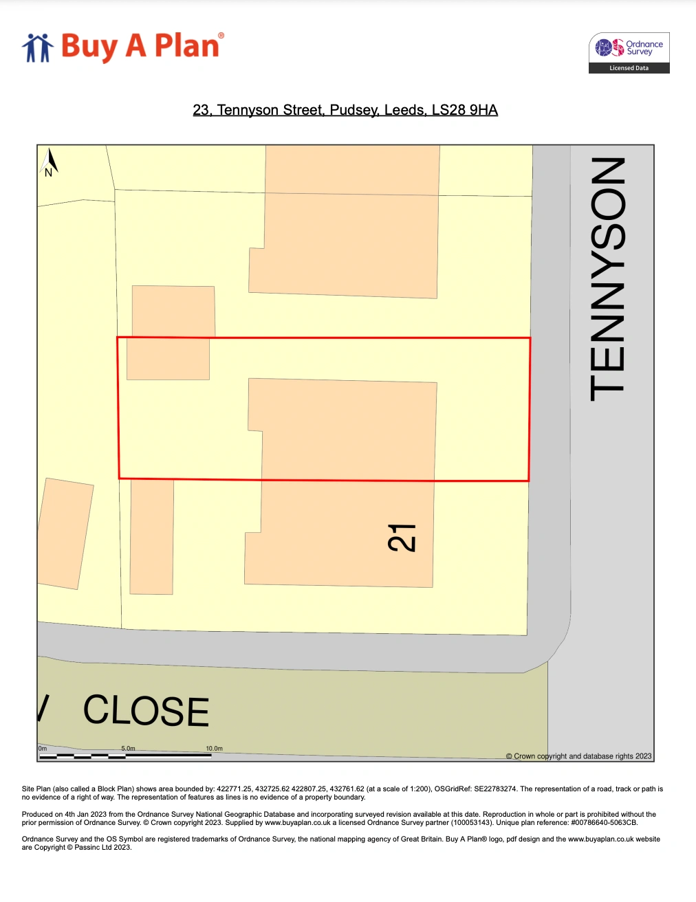
The terms ‘block plan’ and ‘site plan’ are often used interchangeably. The block or site plan shows the development site in some detail, including the precise position of the building, access roads, car parking, drainage runs and any special features of the site such as trees and shrubs or perhaps an overhead electricity line. The block or site plan will also show the land you own: the development site and access should be outlined in red with any other land you own outlined in blue.
If the planning authority asks for a block plan in addition to a site plan, it’ll be because they want something that shows more of the surrounding area, beyond your site boundaries. That will help them assess any wider impacts that your proposal may have. For example, does the new building affect more than just the immediate neighbours, perhaps because of its effect on privacy?
The scale of the site plan will be partly influenced by the size of the development but it’s often at 1:100 or 1:200. A block plan – if it’s asked for separately – might be at 1:500. We supply high-quality, authorised extracts from Ordnance Survey maps that are ideal for your needs.
Block/Site Plan example
In any case you need to check with your local council that the plans you supply are accurate and correct before you submit them for a planning application.

